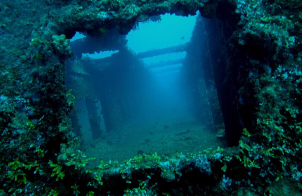
 The Guam Mystery is Unique. There are images taken from Google Earth in the area around Saipan that appear the show some type of large formation, perhaps roads, or something similar beneath the surface of the water. I've spent some time viewing them on Google Earth, and they are indeed there, and seem to be quite plentiful in the area. Does anyone know what they are, or has anyone come across these "roads" before? They are rather interesting due to their size and "unnatural" look. Take a look at this Google Earth images. 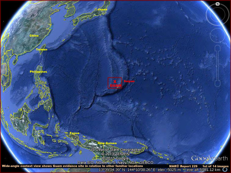 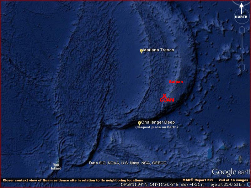 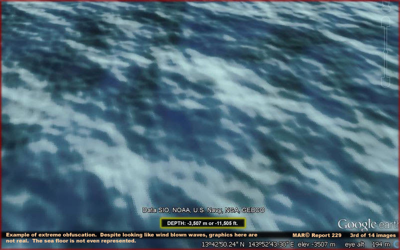  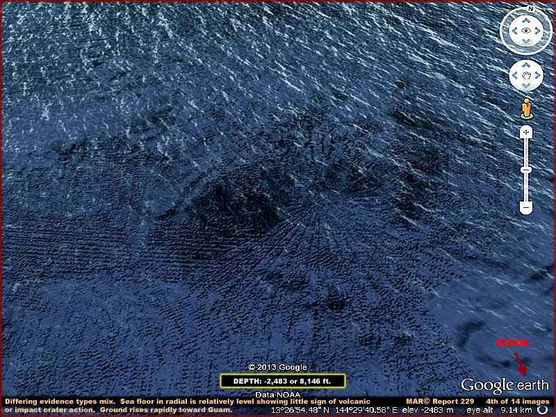 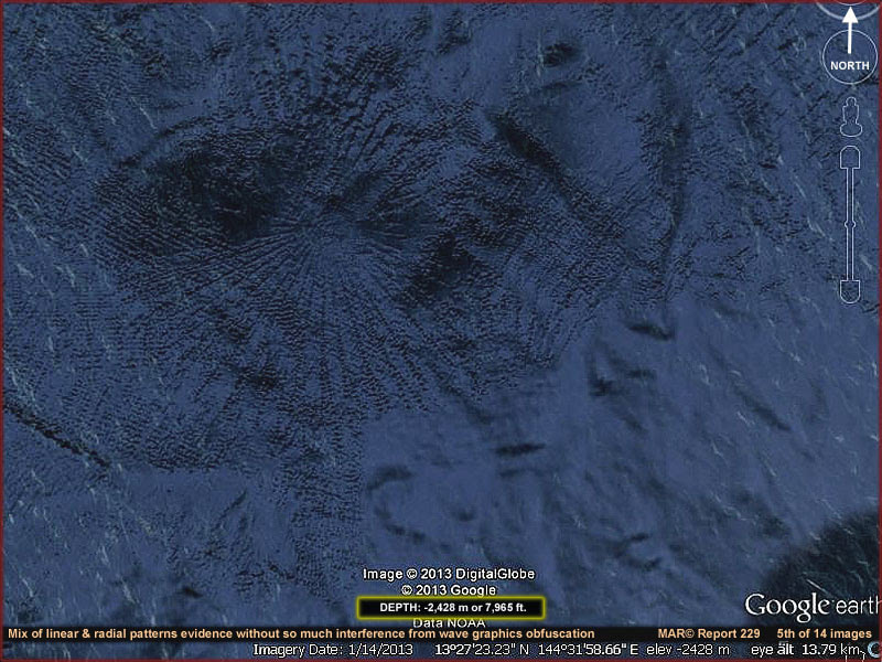 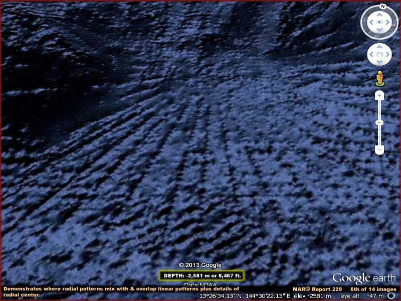 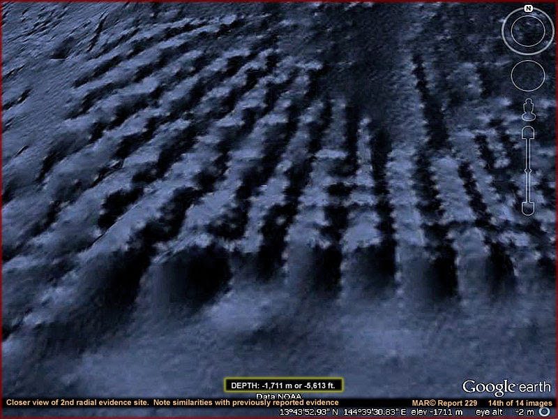 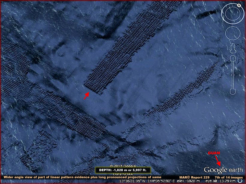 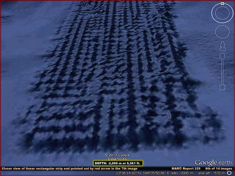 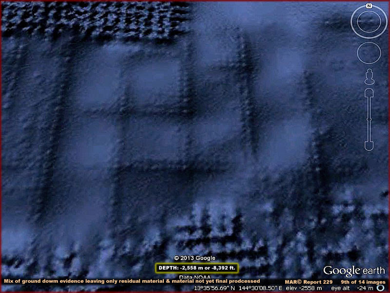 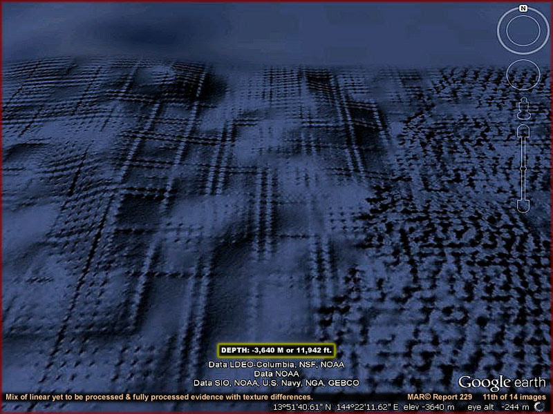 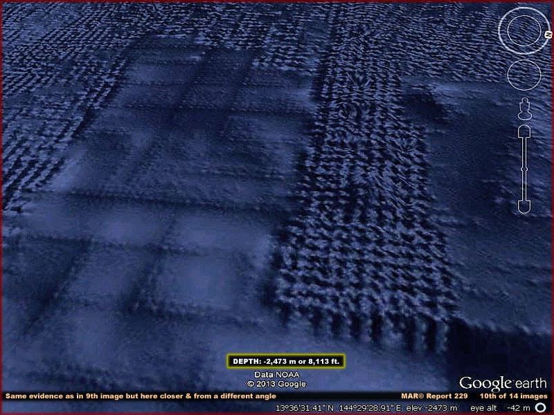 Sure these anomalies could be an ancient Asian civilization that sank under the ocean long ago, but it also could be an underwater alien base. Its size and location would insure millions could use it and since its in such a secluded area, few humans will ever see their UFOs leaving/entering the water.
1 Comment
Stuckin Sandiego
5/30/2022 12:55:34 am
The ocean floor you see on Google maps is a composite of sonar data, bathymetric surveys and satellite data. What you are seeing are artifacts of data collection. For example those long parallel rows may be from a ship doing a high quality multi-beam sonar survey where it measures the ocean depth while sailing in this pattern. When this high resolution data is superimposed on low resolution satellite data it can produce a topography that is not there in real life. Leave a Reply. |


Ufomania Store
Helena MatiasEditor 
Please visit and subscribe our youtube channel
Archives
April 2024
Please take a look below at the amazing work of Author and researcher Stephen Quayle
Categories
All
|